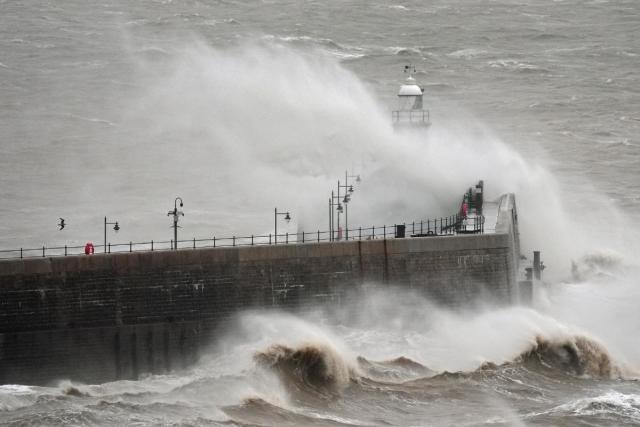
The UK is preparing for the arrival of Winter Storm Éowyn, a powerful system gaining strength from the same Arctic blast that recently battered the United States, Bloomberg reports.
Forecasts predict the storm will bring high winds, heavy rain, and snow, with the potential for significant disruption across the country starting Thursday.
Meteorologist Alex Deakin of the Met Office warned that Éowyn is expected to arrive with wind gusts reaching up to 80 miles per hour. The storm is predicted to make landfall in Ireland on Thursday before moving across Northern Ireland, southern Scotland, and northwest England. Deakin stated that these strong winds could cause structural damage, bring down trees and power lines, and significantly impact transportation. National Rail is already advising of likely disruptions throughout the weekend.
Ireland has issued orange warnings for all coastal areas starting Friday. The Met Office has expanded its yellow wind warnings to include Northern Ireland, Scotland, and much of England on Friday, excluding London and the southeast. A separate wind warning has also been issued for Scotland on Saturday.
In addition to high winds, Éowyn is also expected to bring heavy rainfall and significant snowfall, with up to 7.9 inches forecast for the Scottish Highlands.
The storm system originates from a low-pressure system, further intensified by the same Arctic air mass that caused widespread disruption in the southern United States on Tuesday. That same blast of frigid air brought blizzard conditions to parts of the US, shutting down roads, airports, and schools, and raising concerns over energy production.


