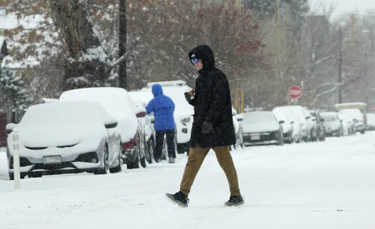
A powerful winter storm is unleashing a dangerous combination of frigid temperatures, heavy snow, and a wintry mix across much of the United States, impacting tens of millions of residents from the Northern Plains to the East Coast, The Associated Press reports.
The National Weather Service has issued winter storm warnings stretching from the Mid-Atlantic through New England, with forecasters predicting a chaotic week of severe weather.
Meteorologist Marc Chenard of the National Weather Service projects that up to 70 million people could be under a winter storm warning in the coming days. The storm is bringing with it record cold temperatures, heavy snowfall, and hazardous icy conditions.
East Coast Snow, Bitter Cold
The East Coast is experiencing a significant snowstorm, with the Mid-Atlantic states under winter storm warnings through Monday morning and New England seeing similar warnings beginning Sunday afternoon. The snow is just the beginning, as much of the region faces some of the coldest temperatures of the winter season. The forecast for the Mid-Atlantic and Northeast includes highs in the teens and 20s Fahrenheit (around -7 to -1 Celsius), lows in the single digits and below zero Fahrenheit (below -18 Celsius), and dangerously low wind chills.
Lake-Effect Snow in Western New York
Western New York state is bracing for heavy lake-effect snow, with 2 to 3 feet expected in some areas near Lake Ontario, including the city of Oswego. The heavy snowfall is anticipated to continue from Monday through Wednesday morning, creating challenging travel conditions.
Extreme Cold Grips the Plains
An area spanning from the Rockies into the Northern Plains is experiencing extremely cold weather. Temperatures are forecast to plummet to between minus 30 degrees Fahrenheit (minus 34 degrees Celsius) and minus 55 degrees Fahrenheit (minus 48 degrees Celsius) on Monday, with sub-zero wind chills extending as far south as Oklahoma and the Tennessee Valley. Minnesota residents have been urged to take extra precautions, such as dressing in warm layers, carrying survival kits, driving with a full tank of gas, and ensuring their cell phones are charged. Kristi Rollwagen, director of homeland security and emergency management at the Minnesota Department of Public Safety, emphasized these safety measures.
Southern States Brace for Wintry Mix
The colder temperatures will push into the Southern states early this week, with as many as 30 million people from Texas to northern Florida and the Carolinas potentially seeing a wintry mix of snow, sleet, and freezing rain starting Monday. The unusual conditions are expected to impact Texas beginning Monday night, then spread across the Gulf Coast and Southeast on Tuesday and Wednesday. A combination of frigid air and a low-pressure system over the Gulf is driving the storm, which could bring heavy snow just south of the Interstate 20 corridor across northern Louisiana and into Mississippi, and a wintry mix near the Interstate 10 corridor from Houston to Mobile, Alabama.
Louisiana Governor Jeff Landry issued a state of emergency on Saturday, urging residents to prepare for the severe weather and closely monitor forecasts.
Polar Vortex Disruption
Like a cold snap earlier this month, this latest extreme weather event is being driven by a disruption of the polar vortex, the ring of cold air usually contained around the North Pole. Although the cold air is expected to moderate as it moves southward and eastward, the Central and Eastern U.S. are likely to experience temperatures in the teens and 20s through Tuesday.
Inauguration Relocated
The dangerously cold weather in Washington, D.C., where temperatures are forecast to drop into the 20s (-7 to -1 Celsius) with strong wind gusts, prompted the relocation of President-elect Donald Trump’s inaugural ceremony inside the US Capitol Rotunda.


