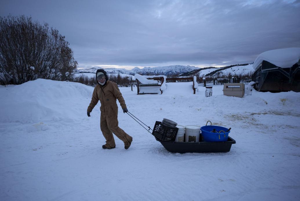
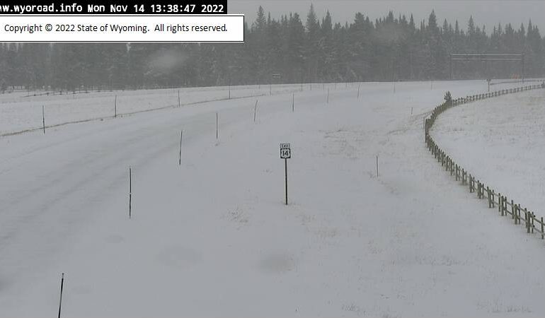
A winter storm watch has been issued for the Bighorn Mountains in Wyoming and Montana, bringing much-needed precipitation to help combat the Elk Fire.
The National Weather Service (NWS) offices in Billings, Montana, and Riverton, Wyoming, have announced the watch, which will be in effect from 6 a.m. on Thursday, October 17, until 6 p.m. on Friday, October 18.
The storm watch includes the town of Story, Wyoming, and the NWS in Billings predicts between 7 to 13 inches of snow in the Burgess Junction area. This will mark the first significant winter weather of the season after an unusually warm and dry start to autumn. Recent temperatures in southeastern Wyoming have been more typical of spring than fall, but that trend is expected to shift with the approaching cold front.
The forecast from the Cheyenne NWS office also points to a possibility of snow for Cheyenne and Laramie by Friday evening, with heavier accumulation expected in the mountainous regions. Cheyenne-based meteorologist Don Day Jr. suggests that while Cheyenne may see some snow, higher chances of accumulation are likely for areas further west, including Casper and Laramie, with another potential storm arriving by Sunday or Monday.
In central Wyoming, the NWS in Riverton reports that temperatures will transition from the mid-70s on Tuesday and Wednesday to unseasonably cold by the weekend. Rain and snow are expected in higher elevations starting Thursday, with highs reaching only 64 degrees. By Friday, temperatures will drop to the mid-40s with strong chances for rain, and overnight lows could dip to 30 degrees.
This cold front promises to bring relief from the ongoing warm weather and provide much-needed moisture to the region, especially in wildfire-affected areas.
With input from Sheridan Media, KGAB, and Oil City News.


